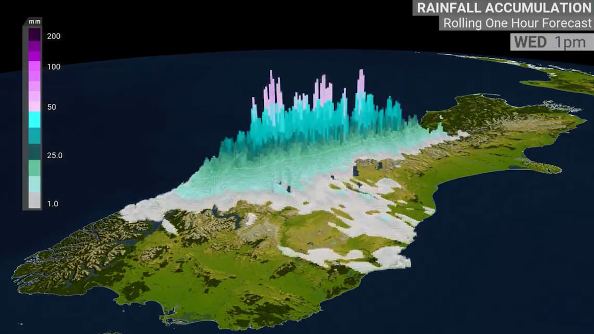
Graphic from Niwa Weather indicating rainfall accumulation for Wednesday, specifically 1pm. Image / Niwa Weather
A flood-prone river in Westland has reached its alert level as a “significant rain event” hits the West Coast of the South Island.
Orange heavy rain warnings are in place and could escalate to red this morning as the days-long deluge hits the region, potentially bringing one to two months’ worth of rain in just three days.
Drivers are warned of surface flooding, slips and high river levels – State Highway 6 between Haast and Fox Glacier is already closed due to a slip, with no detour available while contractors work to clear the road.
Emergency operation centres are also ready to open in the region this morning.
MetService meteorologist Mmathapelo Makgabutlane said the mountain areas of the Westland district around the Southern Alps had received 200-250mm of rain in the past 24 hours.
Closer to the coast, Milford Sound had received 140mm and Haast had 115mm – about half the average rainfall for the whole of April at 227mm.
Those levels were well above the typical level of 100mm that would trigger an orange warning, Makgabutlane said, and more rain was expected.
Niwa yesterday said river flows were forecast to become “well above normal to extremely high”.
The biggest concern was for the Waiho River. State Highway 6 crosses the Waiho at Franz Josef, with permanent signage in place at the crossing warning of sudden flooding hazards.
The river burst a stopbank in 2016, changing course and flooding homes and holiday parks in Franz Josef and forcing evacuations.
In 2019 the Waiho Bridge was destroyed during torrential rain with rough floodwaters, with the river peaking around 8.3m.

The crossing reached an alert level around 9pm last night when it topped 8m and at 7am today is now above 8.3m.
Flooding was also possible for other Westland catchments south of Hokitika, Niwa said yesterday.
River levels were forecast to peak around 6am on Thursday, with a second peak possible later that day as more rain arrived.
‘Don’t take any chances’
Late last night West Coast emergency management warned that the days-long bout of heavy rain was settling in throughout Westland.
Surface flooding had already arrived and the heavy rain would continue overnight through to lunchtime today, officials said on social media.
“We are continuing to monitor throughout the night and expect river levels to go through alarms,” the post said.
“Floods and flash floods can happen quickly. Put safety first. Don’t take any chances. Act quickly if you see rising water. If you have an emergency call 111.”
From 8pm Tuesday, MetService said between 500-700mm of rain could accumulate around the Westland ranges, and 150-250mm along the coast.
As well as rising rivers, heavy rain could cause surface flooding and slips, and driving could be hazardous.
Makgabutlane said MetService would issue an update from around 10am, including any upgrades to warnings and watches.
Any red warning would typically be based on expected impacts, by talking to local authorities and taking advice on the ground.
The deluge is forecast to come in two waves, she said. In northern parts of Westland into the Grey District the rain has already started to ease a little but “as evening turns into Thursday it will start ramping up once again”.
The southern half of Westland, which includes Franz Josef, can still expect quite a bit of rain but it will ease for a time which could give the Waiho time to recover before the heavy rain picks up tomorrow.
Forecasters were also keeping a close eye on other parts of the lower South Island, she said, and considering whether to upgrade watches to warnings. Those regions did not need very high rainfall totals to trigger warnings.
The widespread system will also affect the North Island, particularly northern parts, on Thursday and Friday.


 Supercars Taupō: Brodie Kostecki to return to racing in New Zealand