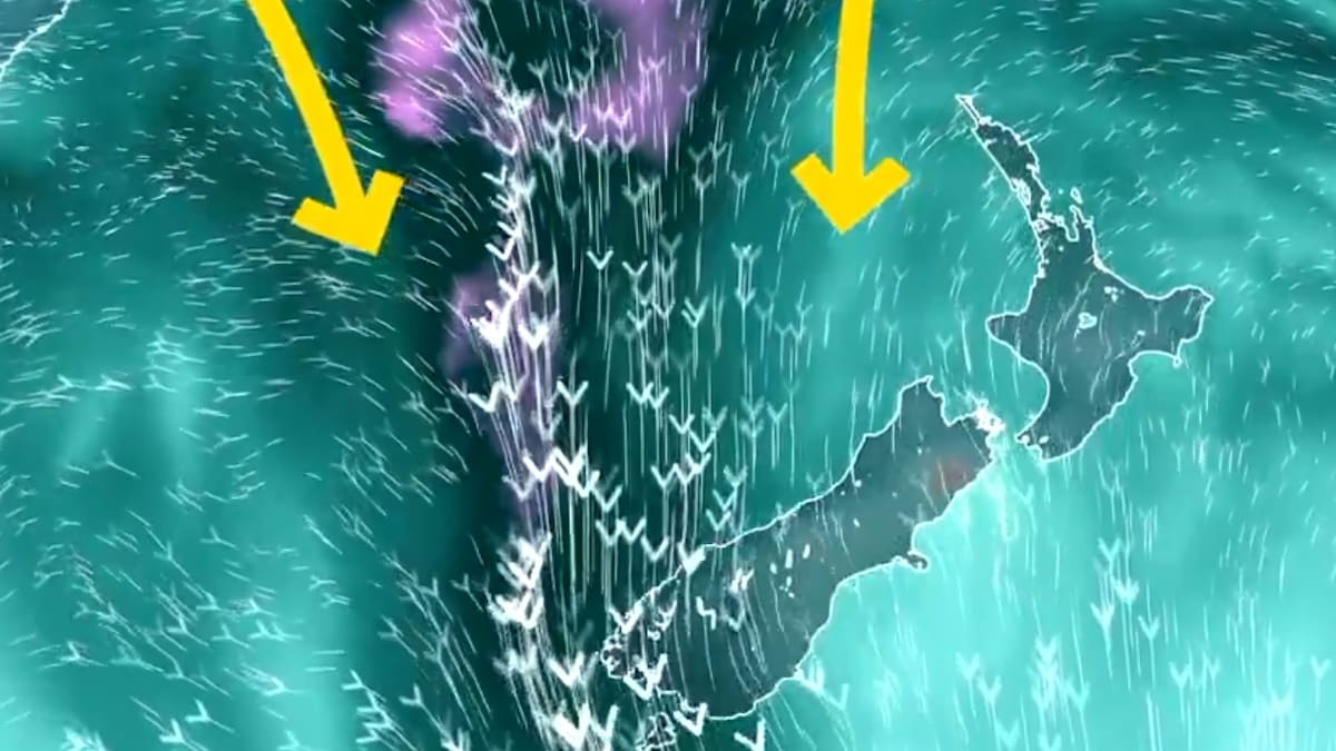

Parts of the South Island may experience 62 hours of rain in a constant deluge until Thursday evening as the forecast worsens for the West Coast.
MetService forecasters are predicting a deluge of one to two times their monthly rainfall over the space of a few days.
An Orange Heavy Rain Warning has been issued, with the potential to be upgraded to Red.
Accumulations around the ranges are expected to range from 600 to 800mm, and 200 to 300mm along the coast.
Peak downfall rates of 25 to 35 mm/h are expected, with such conditions posing risks of rapidly rising streams, rivers, surface flooding, and potential slips, rendering driving conditions hazardous.
The weather front is set to traverse northwards over Fiordland from Tuesday, and is anticipated to linger between Westland and Fiordland through Wednesday and into early Thursday.
Meanwhile, Fiordland and north of George Sound are also bracing for heavy downpours, with an additional 80 to 110mm and peak rainfall rates of 15 to 25mm/h anticipated.
The Canterbury High Country and the headwaters of Canterbury Lakes and Rivers south of Arthur’s Pass are expecting 400 to 600mm of rainfall around the main divide and 200 to 300mm further east.
Similar conditions are forecasted for the headwaters of the Otago Lakes and Rivers, with peak rates of 15 to 25mm/h.
Residents in these areas have been advised to prepare for the possibility of flooding and to exercise caution.
West Coast Emergency Management (WCEM) said it has started planning and preparing for the weather warning issued by MetService on Monday.
“WCEM asks everyone to keep up to date with the forecast and take precautions. This is a good time to review your emergency plans for home or work, and if travelling to check you have some emergency supplies [water, food, warm clothing] with you.”
Westland Mayor Helen Lash said important conversations are happening between herself and supporting agencies such as Fenz, St John, police, and NZTA.
“Everyone knows what is potentially coming, so we will wait for the latest update, and then start mapping things out from there. That may include placing certain people in certain areas.”
Wet end to the week for North Island
MetService meteorologist John Law said, for the next couple of days, the weather in the North Island is forecast to look good.
However, by Thursday, it will start to turn as bad weather will roll in from the west.
“For places like Northland and Auckland, we could see some strong winds and reaching gales at times,” he said.
He said southern Taranaki, Wanganui, and Wellington could see similar conditions.
Law said the rain and wind is set to continue to move east on Friday.
“Places like the Bay of Plenty, Waikato and Auckland could well find some heavier rainfall,” he said
“It’s a situation to be aware of, but it’s looking like there will be some heavy rainfall by Thursday and Friday.”


 TVNZ job cuts: Fair Go to be axed as staff begin hearing their fate