
Snow is on the cards for parts of the South Island from mid-week. Photo / RNZ
Kiwis can expect a mixed bag of weather to start the new week as school holidays have come to an end and the beginning of May looms.
Weatherwatch.co.nz says in true Autumn style, weather around the country this week is a bit of “everything off the menu, thanks”.
“Put simply we’re between high pressure zones – one is exiting, a cold front comes in – then the next one moves in.”
Monday’s weather sees high pressure dominating over the Chatham Islands, ushering easterly winds into northern New Zealand. While most areas of the country will experience dry conditions, isolated showers may dampen the coastal regions of the northern North Island and the West Coast of the South Island.
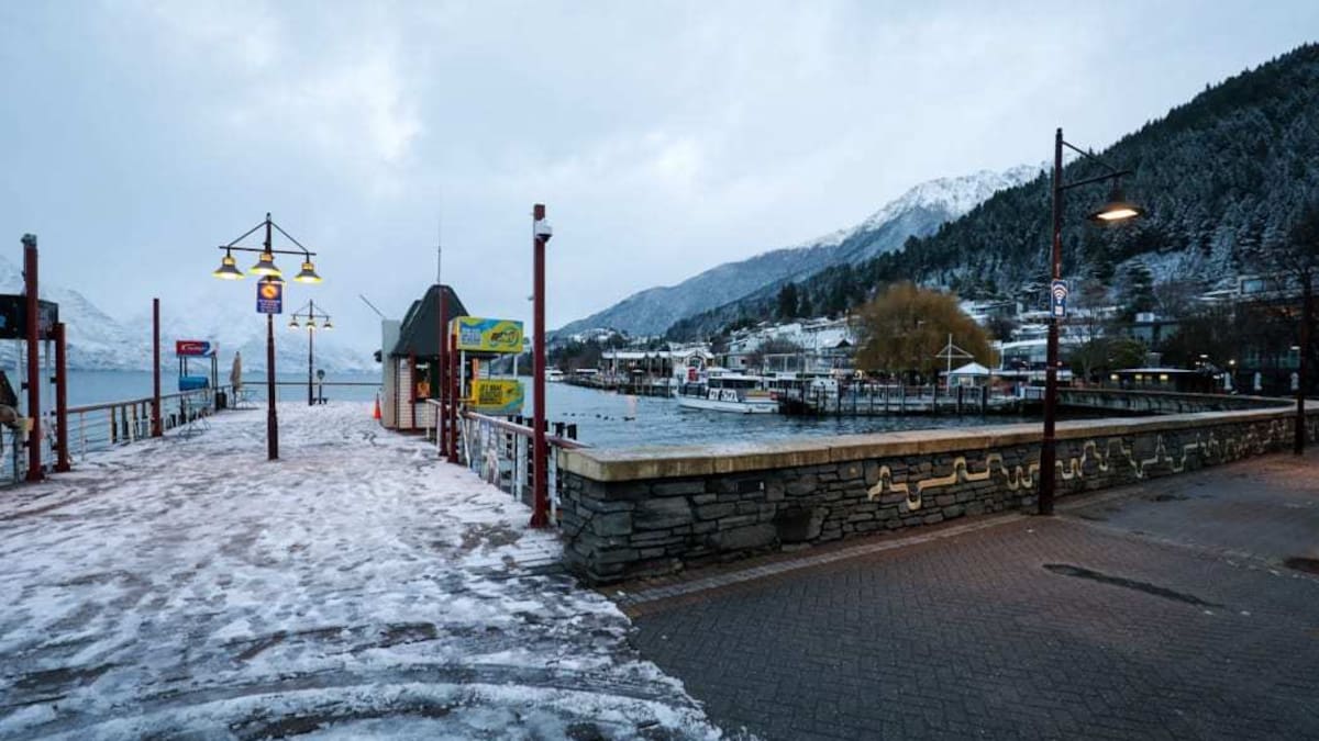
Mild westerly to northwesterly winds are forecast for parts of the lower South Island.
On Tuesday, a low-pressure system with subtropical connections intensifies northeast of New Zealand, as high pressure retreats eastward.
Meanwhile, a distant high-pressure zone centers over the Great Australian Bight, providing ample space for the deepening low near New Zealand.
Although the offshore storm is projected to largely remain at sea, residents in the north and east of the North Island are advised to stay vigilant as there is a possibility of its trajectory shifting closer to land.
This weather pattern is expected to result in generally milder conditions across much of New Zealand for the last day of April.
Niwa Weather reports temperatures are looking cooler than average overall for the country over the next few weeks.
This is due to a low pressure system to the south of New Zealand and high pressure system south of Australia teaming up “to produce plenty of southwesterly winds during May”.
Niwa says this pattern may start to change by the end of May.
The start of the new month will see a colder southerly move up the South Island, bringing snow to the mountains and ranges and a temperature drop of several degrees for much of the South Island, forecasts Weatherwatch.co.nz.
Thursday will see a cold change for the North Island with some wet weather also making an appearance.
The North Island had the chilliest temperatures overnight on Saturday, with South Waiouru plummeting to -4C and the Desert Road to -3.4C.
MetService says there’s a chance rainfall accumulations may reach warning criteria in Fiordland and the Westland District on Tuesday.
There is also low confidence that northwest gales will become severe for a time in Fiordland, Southland and Otago.
No severe weather warnings or watches were in place across the country as of Sunday night.
MetService issued a severe thunderstorm warning for Christchurch on Friday afternoon, saying “these thunderstorms are expected to be accompanied by very heavy rain and large hail”.
Residents had been urged to stay or get inside and stay away from windows and avoid waterways.
Kelly Watson told the Herald the hailstorm was quite intense for at least 10 minutes.
“It came in quite hard and fast. We saw an Air New Zealand flight take a sharp right turn on take off, not long after take-off, just as the first flash of lightning occurred to its left.”
Watson had been at the airport watching the planes with her young son.
Earlier, residents described New Zealand’s southernmost town Bluff being blanketed by a freak and intense hailstorm, leaving much of the town white.


 Tihei: Te Matau A Maui – our voyaging heritage continues